Circumferentor
This article was originally written and submitted as part of a Canada 150 Project, the Innovation Storybook, to crowdsource stories of Canadian innovation with partners across Canada. The content has since been migrated to Ingenium’s Channel, a digital hub featuring curated content related to science, technology and innovation.
The Circumferentor helped plot Canadian settlements and international boundaries.
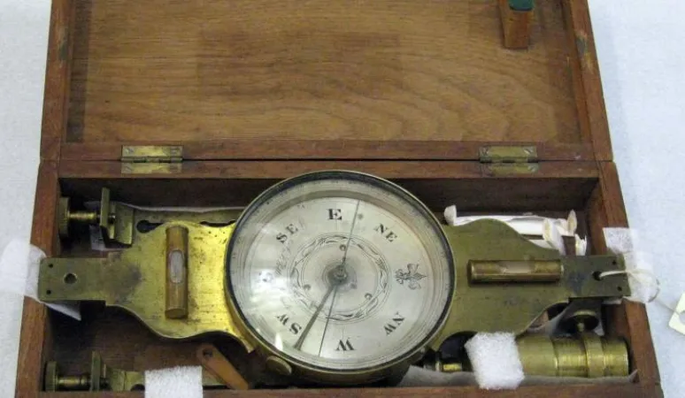
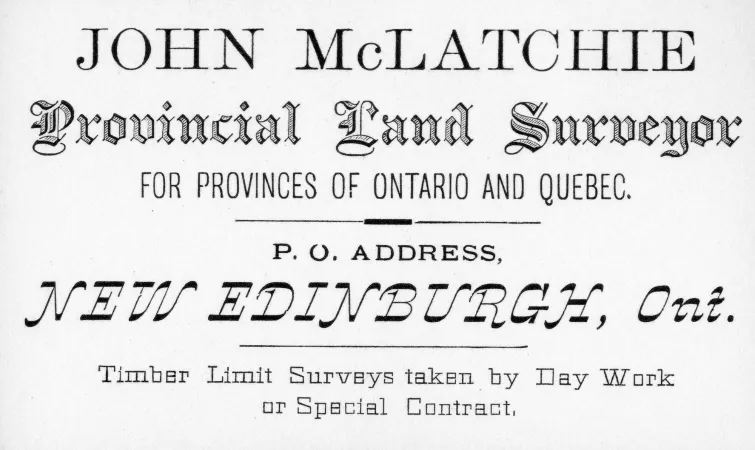
Circumferentors were used to plot Canadian settlements and international boundaries during the 1800s. A circumferentor, also known as a surveyor’s compass, measures horizontal angles and bearings. This instrument enables surveyors to establish grid lines and mark out territorial divisions such as political boundaries and personal properties. John McLatchie (1842–1908) owned this circumferentor. Born in Quebec, he began a career as a Dominion Land Surveyor in Manitoba in 1872. After federal government land policies helped spark the 1885 Northwest Rebellion, McLatchie served as a scout on the Canadian military expedition. After the rebellion, McLatchie continued to survey western Canada. In the 1890s, McLatchie helped define international boundaries in eastern and western Canada, and ended his career in British Columbia. Toronto instrument maker Augustus Frederick Potter, who fashioned this circumferentor sometime between 1857 and 1860, was among the city’s small corps of instrument makers. These craftsmen were skilled machinists, engravers, and opticians, who built a variety of instruments, such as barometers, telescopes, and land-surveying equipment.
Many Canadian instrument makers started business in response to the growing survey industry of the 1800s.


